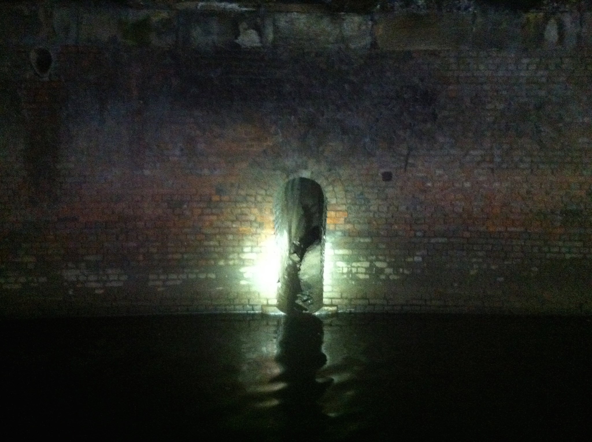
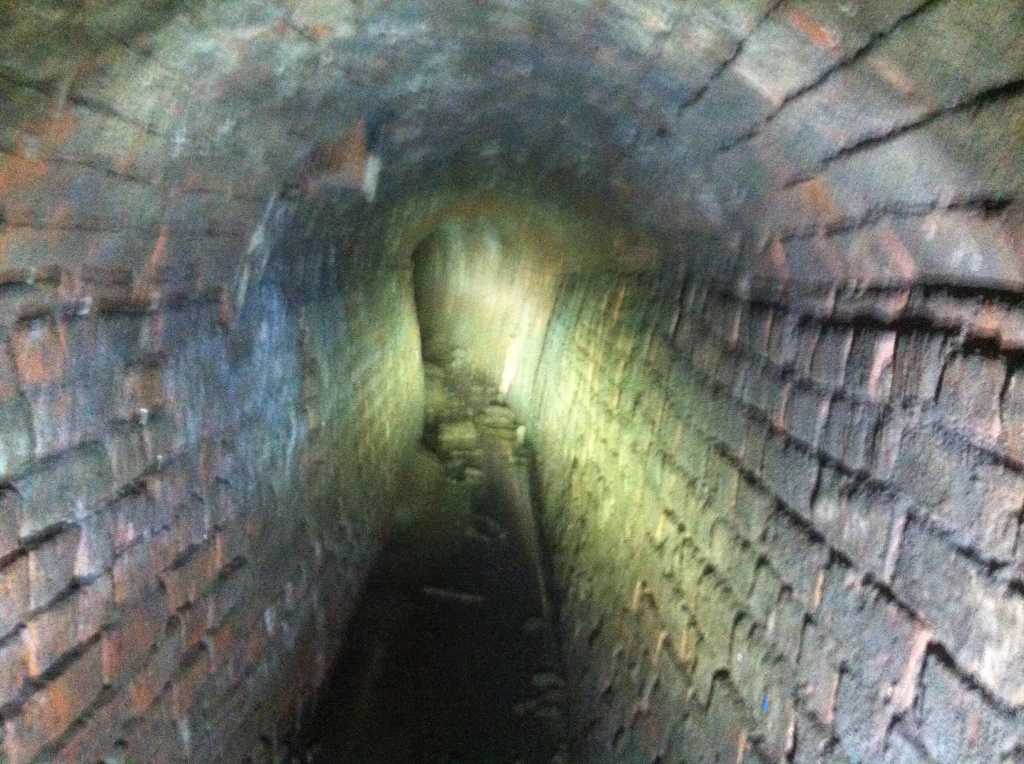
> Tib draining into the Medlock? 📍
This is the location of the point that the River Tib joins the River Medlock. The exact location is roughly worked out from tracing the 1794 William Green map. The photos below from substormflow’s exploration of the River Medlock are believed to be the river emerging from its very old culvert (much better versions are included on the link) just underneath First Street. The drawing (provided by Manchester’s image archives) shows an illustration by Frederick A. Winkfield from page 109 of Memorials of Manchester Streets named ‘Outlet of the River Tib at Gaythorn’.
In Hewitt Street, at its most distant point from Knot Mill, our diminutive underground river, the Tib, may still be seen emerging from its obscurity to embrace the Medlock. After its escape from beneath a segmental arch of brick, it has an open course of nearly one hundred yards, when it enters the larger stream. The builder's yard in which the brook emerges, and sometimes overflows, may be entered from Hewitt Street as aforesaid, but only upon sufferance, and not too often.


 Hidden Manchester Map