> Worsley Navigable Levels 📍
Known as the Worsley Navigable Levels, these 46 miles of underground canal tunnels were built by the various Dukes of Bridgewater and James Brindley. They are split across multiple levels and allowed coal to be brought to the surface and transported into Manchester. The underground routes are taken from a combination of sources (1, 2, 3, 4) which do no entirely agree, so they should be considered approximate.


By Chris Denny

At Worsley Mill, 7 computed miles from Manchester, is the duke of Bridgwater’s Tunnel a subterraneous navigation that leads to the coal mines; first entrance for 1000 yards is six feet and a half wide, seven feet and a half high, including the water, is three feet four inches deep; it is already continued 500 yards further, 10 feet wide, the same height, a direct line, and will be extended at least a mile and a half more; the boats employed therein are forty seven feet long and four feet and a half wide including the gunnels; they draw, when loaded, two feet fix or seven inches, and carry from seven to eight tons; there is a rail on each side, by which the boats are towed or pulled by the hand; and being linked together, are brought Cut of the tunnel from six to twenty at a time A boy of seventeen has worked twenty one, which at seven tons each the lowest burthen makes 147 tons; they are from thence drawn by mules or horses to Manchester and other places, generally four or six in a gang; there is also a mill that by a small overshot stream turns a wheel eight yards diameter, and by that power, three pair of stones to grind corn, and an apparatus compleat, to make mortar; also portable cranes of an uncommon construction to draw stone out of the quarry with callipers.
There is a great site with loads more material about the canal (including the passage below) here: Duke of Bridgewater’s Underground Canal at Worsley.
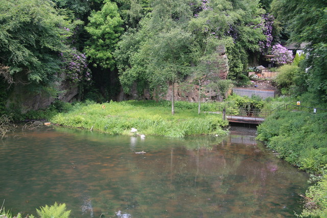
The Underground Canal or "Navigable Level" as it was known, starts at the Delph at Worsley and runs north westward under Walkden and Little Hulton to Dixon Green. The four levels and numerous side branches give a total length of almost 52 miles. Work started in 1759, small teams of miners cutting the rock by hand, with pick, shovel, hammer and drill. By 1770 they had reached Walkden and Buckley Lane by 1801. For many years over 100,000 tons of coal a year were brought out through the underground canal, and it continued to be used for this purpose until 1887. It then served as a drainage mechanism, water being pumped into it from the mine workings until the closure of the last pit in the area, Mosley Common, in 1968, made it redundant.
 Hidden Manchester Map